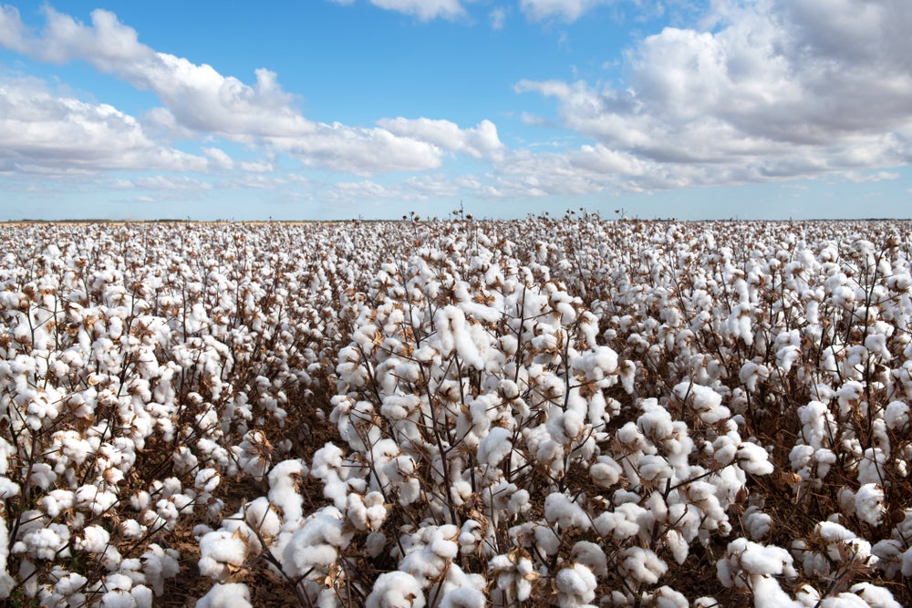
Cotton made in Africa (CmiA), which is part of the Aid by Trade Foundation, and German geospatial cloud specialist, Geocledian, are working with the Tanzanian group Alliance Ginneries on a new method for remotely sensing cotton crops.
The remote sensing project will allow companies to annually map and register cotton fields. They will also be able to check the phenological status of fields, making it easier to identify anomalies and take countermeasures to ensure a good harvest.
Go deeper with GlobalData

Remote sensing can also help ensure compliance with CmiA’s sustainability criteria.
Tina Stridde, managing director of the Aid by Trade Foundation explains: “It is important to make them [cotton production in Africa] future-proof and also to seize technological opportunities that arise in order to support small farmers in the best possible way.”
She continues: “The work of the CmiA standards will be characterised by major steps in the next few years to sustainably shape and advance the cotton sector in sub-Saharan Africa with sensible and practical innovations. The remote sensing project has considerable potential in this regard.”
After successfully completing the preparatory phase, the project is now being implemented, with Geocledian experts training staff in collecting GPS data, using workflows and optimising GPS equipment.
How well do you really know your competitors?
Access the most comprehensive Company Profiles on the market, powered by GlobalData. Save hours of research. Gain competitive edge.

Thank you!
Your download email will arrive shortly
Not ready to buy yet? Download a free sample
We are confident about the unique quality of our Company Profiles. However, we want you to make the most beneficial decision for your business, so we offer a free sample that you can download by submitting the below form
By GlobalDataGPS data allows precise locations within fields to be marked for investigation. GPS also helps with evaluating satellite data using machine learning.
The next phase of the project will see computer algorithms used to conduct land-use classifications. Geocledian is using collected GPS data for the surveyed fields to achieve this, using information collected via satellites.
Geocledian’s CEO Stefan Scherer says: “CmiA takes a systemic approach to sustainability and remote sensing makes it possible to provide proof of its success as far back as the cotton fields.”